Remote Sensing
At Fulgham Tree Preservation, we are excited to announce our latest advancements in remote sensing technology, specifically in the realms of LiDAR and hyperspectral imaging. These cutting-edge techniques have revolutionized the way we capture and analyze data, enabling us to explore and understand our environment like never before.
LiDAR
LiDAR, short for Light Detection and Ranging, is a remote sensing method that employs laser pulses to measure distances and generate precise three-dimensional representations of objects and landscapes. By emitting laser beams and measuring the time it takes for the reflected light to return, LiDAR allows us to create highly accurate digital models of terrain, buildings, vegetation, and other features. This data-rich technology enables us to capture intricate details and spatial information, facilitating various applications across industries.


What can we do?
Hyperspectral Imaging
Hyperspectral imaging, on the other hand, takes remote sensing to a whole new level by analyzing a wide range of electromagnetic wavelengths. Unlike traditional imaging techniques that capture only a few bands of the electromagnetic spectrum (such as RGB), hyperspectral imaging acquires hundreds of contiguous narrow bands. This wealth of spectral information offers unprecedented capabilities in identifying and characterizing materials, detecting subtle changes in vegetation health, monitoring water quality, and even identifying specific chemicals or minerals in diverse environments.
New Horizons
With LiDAR and hyperspectral imaging at our disposal, we have expanded our ability to provide comprehensive and detailed insights into our clients’ projects and research endeavors. Our team of experts utilizes these technologies to support a wide range of applications, including land management, urban planning, environmental monitoring, agriculture, forestry, and archaeological surveys.
Whether it’s mapping and analyzing terrain, studying vegetation health patterns, monitoring coastal erosion, or assessing the impact of infrastructure projects, our remote sensing capabilities deliver a level of accuracy and detail that empowers decision-making, streamlines workflows, and maximizes project outcomes.
We invite you to explore our website to learn more about the potential of LiDAR and hyperspectral imaging, and how we can help you leverage these technologies to gain invaluable insights into your projects. Stay ahead of the curve and unlock new frontiers with Fulgham Tree Preservation’s advanced remote sensing solutions.
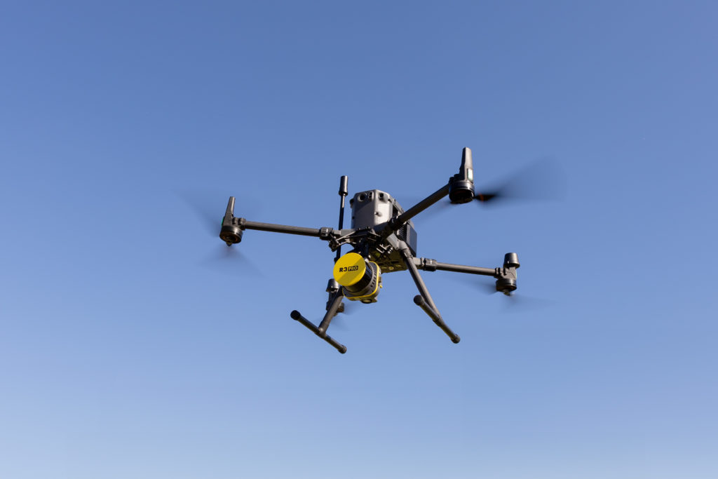
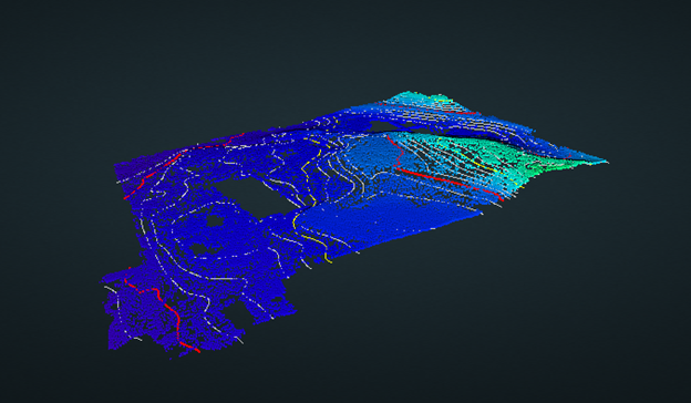
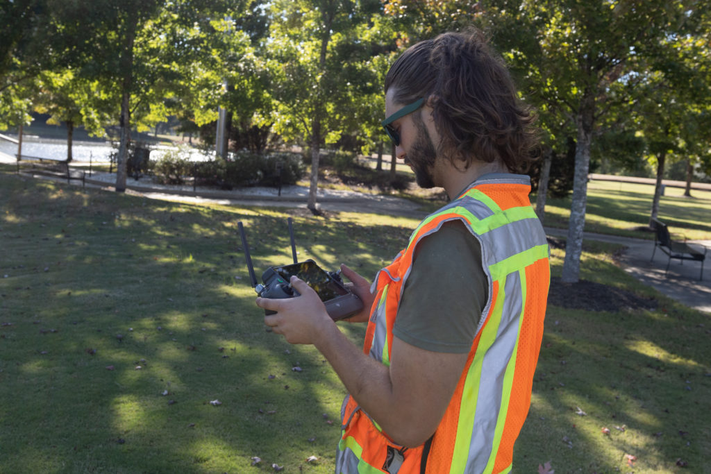
Check out some examples of what we can do!
Example of large site assessment
Example of the surveying capabilities
Example of a large forest assessment
Get in Touch!
Our remote sensing capabilities offer an expansive toolkit for unlocking the secrets of the Earth from above. From high-resolution satellite imagery to the cutting-edge technology of UAV-based LiDAR and hyperspectral imaging, we are committed to providing you with comprehensive and precise data to meet your specific needs. Whether you’re exploring uncharted terrain, monitoring environmental changes, managing infrastructure, or optimizing construction processes, our remote sensing solutions empower you to see beyond boundaries and make informed decisions. Contact us today to discover how our expertise and advanced technologies can elevate your projects to new heights.
